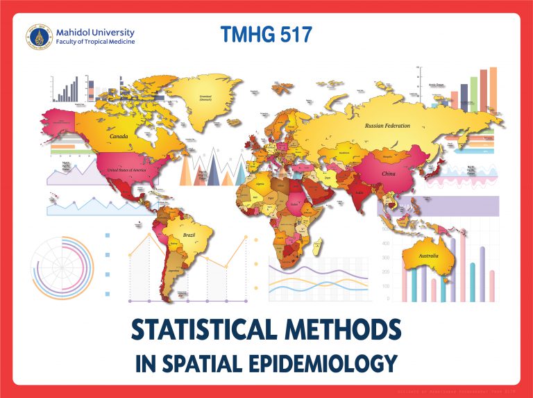
Understanding the Spatial Dimension of Health

Spatial epidemiology moves beyond traditional epidemiological methods by recognizing the crucial role of space in disease occurrence. Where a person lives, works, and plays significantly impacts their exposure to environmental risks, social determinants of health, and disease transmission pathways. This geographic perspective allows for a more comprehensive understanding of health patterns and empowers public health interventions tailored to specific locations.
Key Techniques in Spatial Epidemiology
1. Spatial Autocorrelation:
This technique examines the degree to which health outcomes cluster together in space. By analyzing the relationship between the proximity of individuals experiencing similar health events, spatial autocorrelation helps identify hotspots of disease or clusters of healthy individuals. Commonly used measures include:
- Moran’s I: Quantifies overall spatial autocorrelation, ranging from -1 (complete spatial dissimilarity) to +1 (complete spatial similarity).
- Geary’s C: Measures the degree to which observations at a given location are similar or dissimilar to their neighbors.
2. Geographic Information Systems (GIS):
GIS software provides powerful tools for visualizing and analyzing spatial data. Epidemiologists use GIS to map disease occurrences, overlay them with environmental factors, demographic data, and socioeconomic indicators. This integration of diverse datasets reveals intricate relationships and patterns, guiding resource allocation and targeting interventions.
3. Space-Time Clustering:
This technique detects clusters of disease events that occur both in space and over time. It helps identify outbreaks, emerging infectious diseases, or seasonal variations in disease occurrence. Advanced algorithms like the SaTScan software are frequently employed for space-time clustering analysis.
4. Spatial Regression Models:
These statistical models analyze the relationship between health outcomes and spatial variables. Factors like distance to pollution sources, access to healthcare, or population density are included in the model to predict the likelihood of disease occurrence at different locations.
5. Kernel Density Estimation:
This technique estimates the probability density of disease occurrence at a given location based on the distribution of reported cases. It creates a smooth surface representing the concentration of disease events, highlighting hotspots and areas of relative risk.
Applications of Spatial Epidemiology
The applications of spatial epidemiology are vast and constantly evolving:
- Infectious Disease Surveillance: Tracking outbreaks, identifying sources of infection, and guiding public health interventions.
- Chronic Disease Mapping: Identifying geographic patterns of chronic conditions like cardiovascular disease, diabetes, and cancer, informing targeted prevention and screening programs.
- Environmental Health: Investigating the impact of environmental factors, such as air pollution, water contamination, and noise, on health outcomes.
- Public Health Policy: Evaluating the effectiveness of health programs and interventions, informing resource allocation and decision-making.
- Resource Planning: Mapping access to healthcare facilities, identifying underserved communities, and improving resource allocation.
Challenges and Future Directions
Despite its immense potential, spatial epidemiology faces several challenges:
Data Availability and Quality: Accurate, complete, and timely health data is crucial for reliable spatial analysis.
Privacy Concerns: Protecting patient confidentiality while sharing geographic health data requires careful consideration.
Interpretation and Communication: Translating complex spatial patterns into meaningful insights for policymakers and the public can be challenging.
Future directions for spatial epidemiology include:
- Integration of Big Data: Utilizing large datasets from diverse sources, such as electronic health records, social media, and environmental sensors, to gain deeper insights.
- Advanced Modeling Techniques: Developing more sophisticated models that incorporate complex spatial interactions and multifactorial influences on health.
- Community Engagement: Involving communities in data collection and interpretation to ensure relevance and impact.
FAQ
- What is the difference between epidemiology and spatial epidemiology?
Epidemiology studies the distribution and determinants of health outcomes, while spatial epidemiology adds a geographic dimension, examining the role of location in health.
- Why is it important to consider space in health studies?
Individuals’ location significantly influences their exposure to environmental risks, social determinants of health, and disease transmission pathways.
- What are some real-world applications of spatial epidemiology?
Tracking infectious disease outbreaks, identifying environmental health risks, and planning healthcare resource allocation.
- How can spatial epidemiology be used to improve public health?
By identifying geographic patterns and risk factors, spatial epidemiology guides targeted interventions and resource allocation to optimize public health outcomes.
Conclusion
Spatial epidemiology has emerged as a powerful tool for understanding the complex relationship between location and health. By incorporating geographic data and advanced analytical techniques, it provides valuable insights into disease patterns, environmental risks, and social determinants of health. As technology advances and data becomes increasingly accessible, spatial epidemiology will continue to play a crucial role in informing public health policy, improving disease surveillance, and promoting equitable health outcomes for all.
Closure
Thus, we hope this article has provided valuable insights into Spatial epidemiology techniques. We thank you for taking the time to read this article. See you in our next article!